
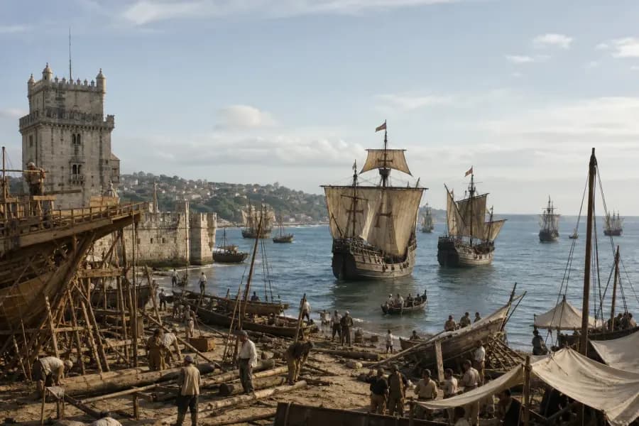
Begin with physical geography, identify a broad region, then use architecture and movement technology to narrow it. Place the pin at the level your evidence supports; do not let one famous-looking landmark override the rest of the scene.
What to know
- Use a broad-to-narrow sequence: environment, cultural region, settlement type, then possible city.
- Historical political borders may not match today's map, so reason from physical places and urban continuity.
- A calibrated regional guess usually scores better than an overconfident city guess based on one weak clue.
Use a broad-to-narrow map routine
The fastest way to lose a map round is to name a city too early. Start by describing the environment without using a place name: dry plateau, tropical river plain, sheltered northern harbor, steep volcanic coast, or dense temperate city. This produces a shortlist instead of an attachment to the first association.
Next, ask which built features fit that environment. Courtyards may respond to heat; steep roofs may respond to snow or rain; canals may reflect a delta, wetland, or engineered trading city. Only then should you consider countries and cities.
- Step 1: identify climate, relief, water, and vegetation.
- Step 2: identify the settlement—port, capital, fortress, village, industrial city, or ceremonial center.
- Step 3: compare architecture, infrastructure, and movement systems.
- Step 4: choose a region, then decide whether the evidence supports a specific city.
- Step 5: place the pin and keep a mental confidence radius around it.
Do not project modern borders backward
The map interface is modern, but the scene may predate the country displayed beneath it. Empires, trade zones, city-states, and cultural regions rarely align neatly with current boundaries. The target coordinates still represent a real location, so anchor your reasoning in rivers, coastlines, mountain systems, and cities that persist through political change.
Names can change too. A reveal may describe Constantinople while the pin sits on modern Istanbul, or Edo while the map label says Tokyo. Treat the historical name as the time-specific identity and the coordinates as the continuous place.
Use architecture as a bundle, not a stereotype
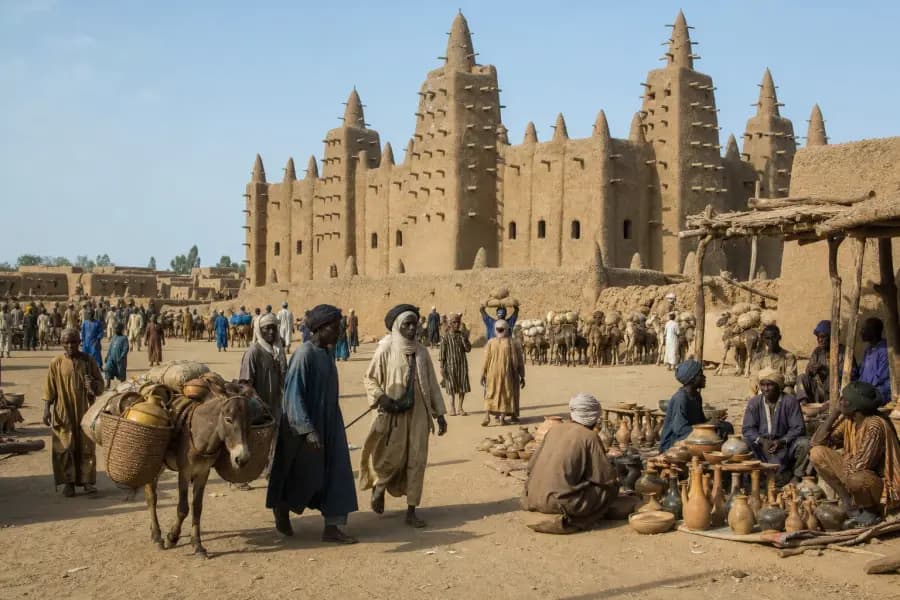
One arch or dome is rarely enough. Look at street width, wall thickness, roof material, window proportions, decorative systems, construction tools, and how buildings meet public space. Imported styles and later restorations can make an isolated landmark travel far from its place of origin.
Infrastructure can be more reliable than ornament. Rail gauge is usually too fine-grained for an illustration, but the presence of tram wires, iron bridges, canal locks, paved boulevards, or defensive walls can distinguish settlement types and periods.
Three common map-guessing mistakes
First, players confuse resemblance with identification: a scene feels Venetian, so the pin goes to Venice despite incompatible terrain. Second, they treat a dramatic composition as proof that every prominent structure is a globally famous landmark. Third, they choose the geographic center of a modern country even when their evidence supports a border region, coast, or river corridor.
A better habit is to state one reason against your preferred guess before submitting. If you cannot find any conflicting evidence, you may not have looked hard enough.
Frequently asked questions
Do I need to identify the exact city?
No. EraGuessr awards partial location points based on distance, so a sensible regional guess can still score well.
How should I handle a historical place with a modern name?
Use the modern map to locate the physical site. The reveal can use the historical name appropriate to the scene's year.
What is the best first clue in a history map game?
Physical geography is usually the safest starting point because terrain and water constrain the possibilities before architectural interpretation begins.
Put the clue method into practice
Play five scenes, then use the reveal to compare your strongest location clue with your strongest time clue.