
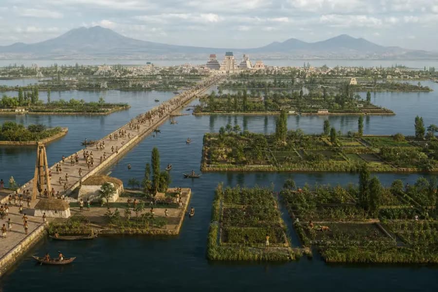
Historical geography studies how people, environments, movement, and places change over time. A good historical geography game makes players use evidence from both the landscape and the built world rather than recalling a capital from memory.
What to know
- Geography is not just a backdrop: rivers, passes, harbors, climate, and resources influence how settlements develop.
- The best visual clues work on two levels, suggesting a region and narrowing a historical period.
- Game reveals should explain the reasoning and uncertainty, especially when imagery is illustrated or reconstructed.
What is historical geography?
Historical geography asks spatial questions about the past. Why did a city grow beside one river crossing? How did a mountain pass shape trade or conflict? Why did an industrial district appear near coal, water, or a port? The subject connects human history to physical landscapes and changing networks.
A conventional map quiz often asks for a label. A historical geography game can ask the player to infer the label from evidence. That shift from recall to reasoning makes an unfamiliar scene playable even when the exact answer is not known.
Five clue families to inspect
Start broad and combine independent clues. A single dome, costume, or tree can mislead; several clue families pointing toward the same region and era create a defensible guess.
- Terrain and water: coast, river, floodplain, plateau, desert edge, mountain pass, or protected harbor.
- Settlement form: walls, street width, canals, courtyards, density, ceremonial centers, or industrial districts.
- Architecture and materials: timber, brick, dressed stone, concrete, iron, roof shapes, arches, and construction methods.
- Movement and trade: pack animals, sailing rigs, railways, roads, bridges, ports, vehicles, and goods.
- Power and public life: fortifications, religious buildings, civic squares, factories, monuments, crowds, and uniforms.
Worked example: reading a harbor scene
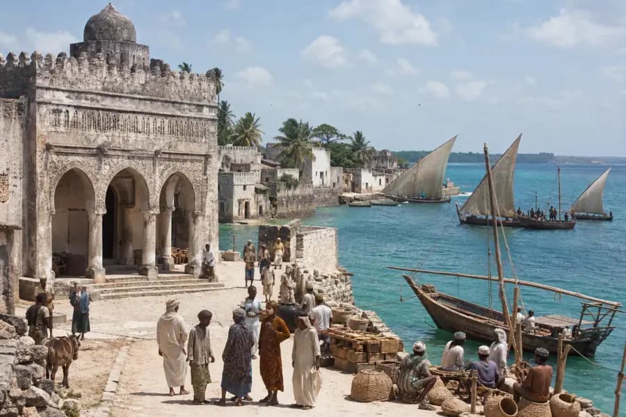
Imagine a sheltered waterfront with masonry warehouses, sailing ships, a fortified headland, and no visible steam power. The harbor suggests trade and a coast; the fortification narrows strategic regions; the ship rigs and absence of industrial equipment provide a broad date ceiling.
You would then test alternatives. Could it be an Atlantic colonial port, a Mediterranean fortress, or an Indian Ocean trading city? Roof forms, stone color, vegetation, and the shape of the harbor should influence the map pin. The date should remain a range until multiple details agree.
What makes the game educational rather than decorative
A historical picture alone does not teach historical geography. The interaction must ask a spatial question, accept uncertainty, and explain the answer. Partial-credit distance scoring helps because a regionally sensible guess is meaningfully different from a guess on the wrong continent.
EraGuessr adds time scoring for the same reason. The post-round reveal connects the image, coordinates, date, and explanation. Players should still treat historical illustrations cautiously and follow source links when they want evidence beyond the game.
Frequently asked questions
What is the difference between geography and historical geography?
Geography studies places, environments, and spatial relationships. Historical geography focuses on how those relationships looked and changed in the past.
Can historical geography be learned through games?
Games can build observation, map literacy, chronology, and question-forming skills. They work best as practice or discussion starters alongside reliable historical sources.
Why use reconstructed images for ancient history?
Photography does not exist for ancient periods. Historical reconstructions can make spatial reasoning possible when they are not presented as primary evidence.
Put the clue method into practice
Play five scenes, then use the reveal to compare your strongest location clue with your strongest time clue.